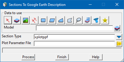
This option has been developed to be used with the following PPF file types.
- Longitudinal Section plotting
- Cross Section plotting
- Drainage /Sewer (Water) Long Section plotting
The option works by selecting the model of strings to be plotted (eg, Cross Section Strings) and applying the settings from the ppf file back onto the strings as a set of attributes.
This model is then output to Google Earth (GE) using the normal “Write KML/KMZ” panel. When the strings are selected within GE, a small window is displayed showing what the plot would look like. A short video on the process and other GE options can be seen via the following link.
Please note: given the limited size of the plot area within GE, it might be neccessary to modify your PPF file to allow users to see the results of the plotted results. All testing and example provided by 12d marked “$Lib/PW*” have been shown to provide nice results when exported.
To view the Section plot as attributes Panel, Use: File => Data output => Google Earth => Section plot as attributes
