This option is used to read (import) Esri REST feature data format information directly into your 12d Model Project.
Some Government Authority websites are now freely publishing public data which may be very beneficial for your projects.
Providing you with quick detailed information on existing site features such as property boundaries, road corridor names or existing survey mark locations just as a starting point.
For detailed course notes and a link the 12d Model Webinar on the use of these new 12d GIS interface, check out the New Zealand section below.
Currently we have been unable to find any REST Feature data website for some Government locations. If you know of a useful Government website with such information, please email Support@exds.com.au so we can update this page to better help all our 12d Model customers.
The 12d Model NZ Team have done a great job documenting and demonstrating the new 12d GIS tool.
Example Chains and Website (URL) links can be found in the PDF document below.
We also suggest you have a look at the 12d Model Webinar (link below) to see these GIS tools in action. It provides an insight to the 12d power and customisation options available for all Users.
NSW 12d Model clients can download example files via the button provided below.
The example 12d files need to be saved into your “$User_Lib” directory.
These files provide you with a starting point from which you can further develop and enhance a workflow to your company and clients’ needs.
For a demonstration on how these 12d Model files are to be utilised, please watch the video linked below.
The files provided should be used with the https://maps.six.nsw.gov.au/ website to correctly load the required data.
To further enhance the provided Chain process, please check out the Victoria section of this page and watch the video provided there.
Currently we have been unable to find any REST Feature data website URL links for South Australia. If you know of a Government site with such information, please email Support@exds.com.au so we are able to update this information to better help our SA Clients.
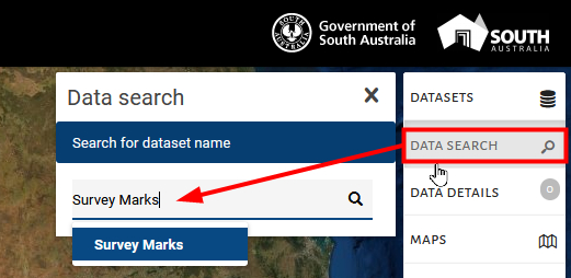
Whilst we wait for this information to be available in the REST file format. The SA Government does provide 12d users with a free viewer to see useful Cadastral boundaries and Survey Mark information etc. Using the link below, users can Search the database and download “shp” or “kml” files containing the same attribute rich information for your projects.
Further information on reading/importing in Arcview shape file into 12d can be found on the 12dWiki here.

Victorian 12d Model User are able to download and utilise the examples files provided via the link below.
The VIC tools provided have been customised to greatly increase productivity and allow for further additions to your company needs.
For a introduction explanation of the proccesses being utilised in the provided Chain, please first watch the video link provided under the NSW section on this page.
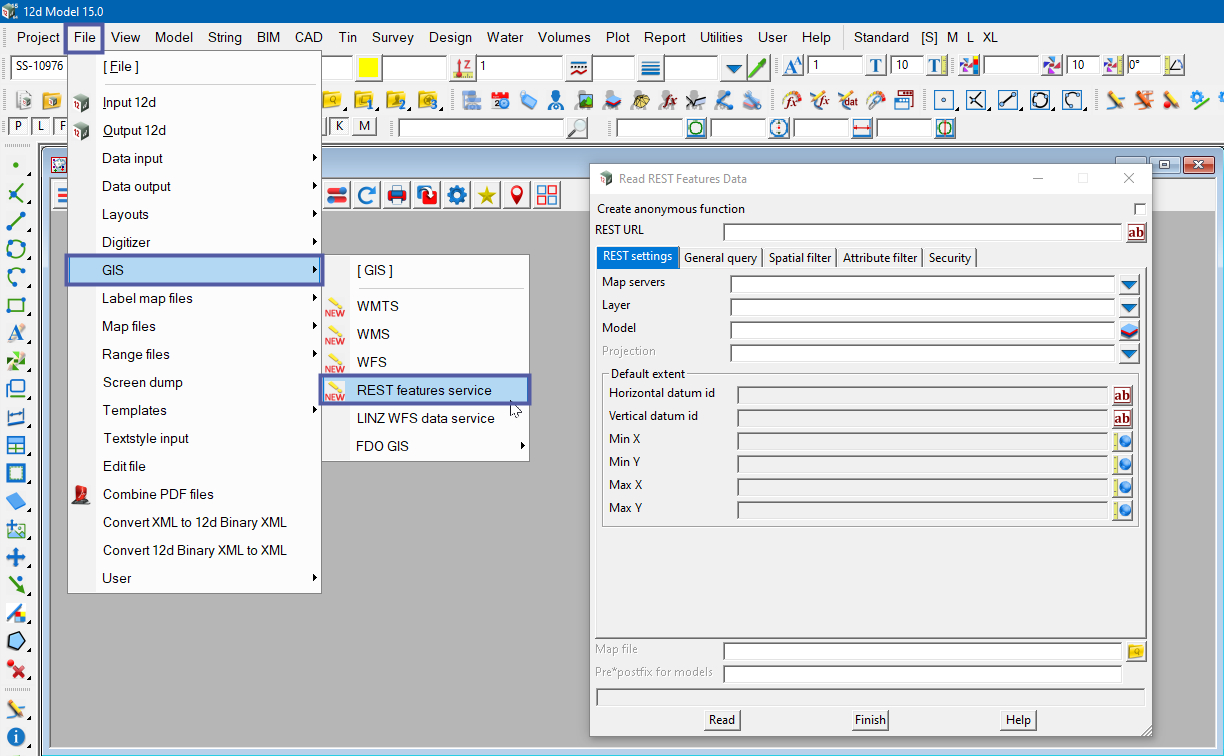
To locate the GIS REST Features Service in 12d Model, use:
File => GIS => REST Features Service
