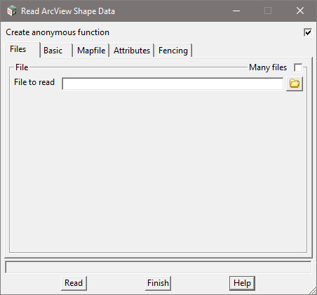
This option is for the input of GIS ArcView SHP (shape files) into 12d Model Software.
The video below demonstrates and describes the various options you are able to utilise when reading Shape (SHP) file data into 12d Model Software.
Additional tools are then demonstrated to better utilize the information for either Survey or Design projects.
Click here for links to Free GIS website data. More links will be added with your feedback.

The following links are provided in good faith, please let us know if we are missing Government Authority sites, which you believe will help other users.
New South Wales (Australia) https://maps.six.nsw.gov.au/clipnship.html
South Australia (Australia) https://data.sa.gov.au/